Expertise
4 min reading
23 August 2023
23 August 2023
Deep Dive on RTLS Solutions: Capabilities, Technologies, Applications
What is the purpose of RTLS?
Real-time location systems, or RTLS, play a vital role in cutting-edge technologies like smart factories, digital transformation, Industry 4.0, etc. The term denotes localized positioning systems opposite to global positioning systems (GPS). While both kinds of systems share time and location in common, identification is a crucial distinguishing feature of RTLS.
An RTLS is aimed at demonstrating “what,” “where,” and “when” within the limits of a specific location. For example, a real-time location system can indicate which product (what) was moved to a particular point (where) at a certain time (when) throughout the working day.
For the most part, the term “RTLS” refers to systems that supply proximity-based data or actual coordinates. It may additionally embrace systems used to identify devices at set choke points (structures like entry or exit points that help control the flow of assets or people in a building) and provide a temporary location at a scan point.
Contrary to the broader term “asset tracking systems” – which also encompasses tools that intermittently log manually entered data and deal with a momentary point of data log – an RTLS accounts for continual autonomous tracking of location data and live updates. On the other hand, some applications of RTLS go beyond the scope of asset tracking. For instance, RTLS may be used by navigation systems or location-based worker safety solutions.
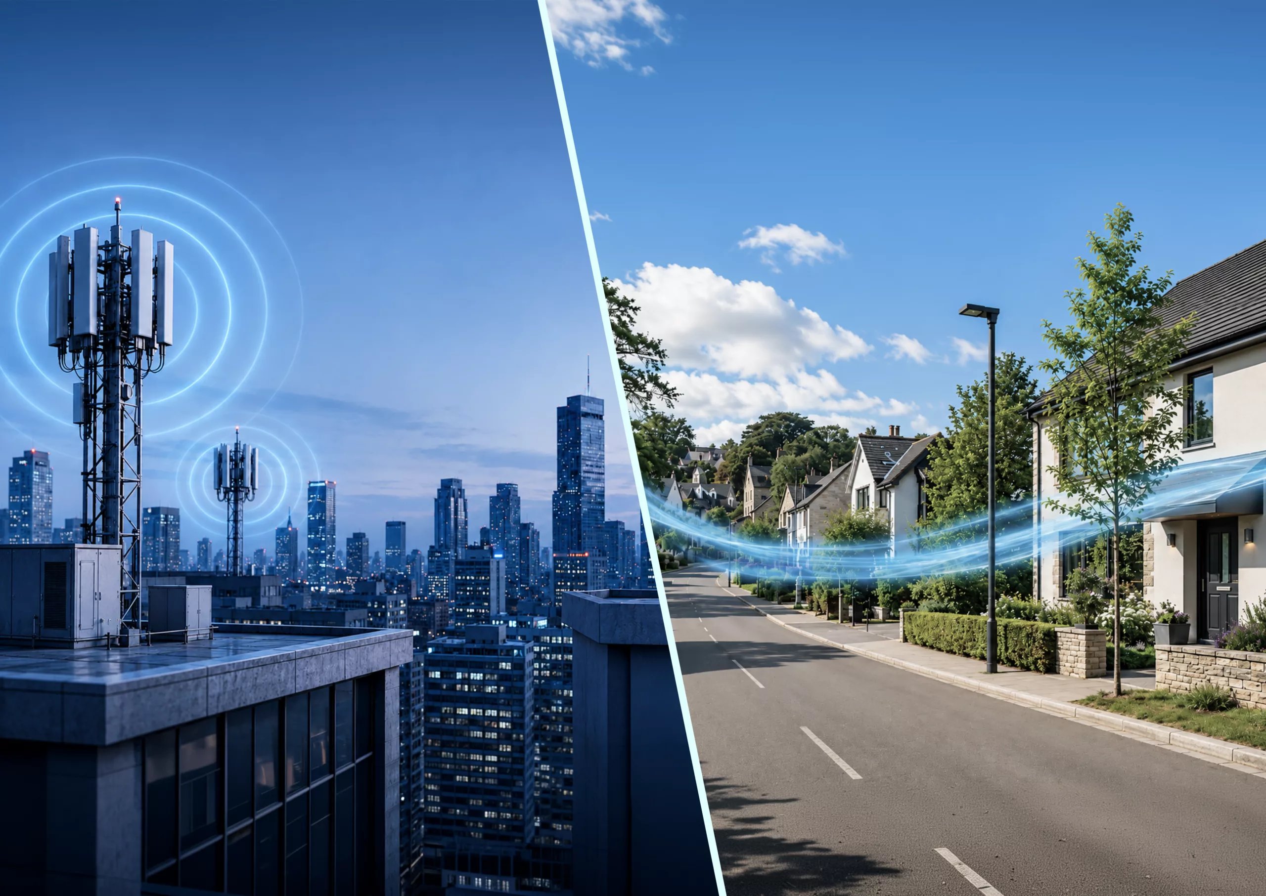
GPS vs RTLS
Although some GPS functionalities overlap with those of RTLS, global positioning systems cannot access most construction materials, so indoor facilities still need to be more reachable to them. Highly complex GPS receivers require substantial expenses, fall short of fine-grained accuracy, and demand more power than RTLS tags.
In comparison, tags have a battery life of up to 7 years, depending on real-time location system applications. Besides, these tags can be attached to items such as forklifts, containers, trailers, personnel identification cards, and the like. Other RTLS features include programmable transmit rates and compatibility with a configurable “blink” rate. The latter serves to send out identification and telemetry data at fixed intervals.
As soon as a tag is activated, it gives out a signal to determine its exact location. Moreover, location sensors enable flexible placement on the following sites:
- in and around a facility
- in and around a shipping yard
- on corners of outdoor buildings
- on light poles
Location data from real-time location systems combined with telemetry data ensure an extensive range of RTLS applications.
Industries benefiting from RTLS
Manufacturing
Since smart factories assemble data (temperatures, machine vibrations, acoustic anomalies, air quality, and more), real-time location systems complement this list of metrics by providing data on location. This RTLS capability allows for the enhancement or replacement of fallible manual processes such as scanning.
Another issue solved by RTLS is the disorganization of manufacturing environments. In this case, automation of location-based updates contributes to reliability, speed, and output throughout work in progress. At the same time, location awareness reinforces worker safety.
Among other things, real-time location systems help to search for missing items, automate inventory routines for high-value assets, and give predictive warnings in the event of congestion or perimeter deviation.
RTLS can also settle the following problems:
- inconsistent or exceedingly long times spent on setups
- where products and components are periodically backlogged
- overall manufacturing time spent on each manufactured item
- unexpected bottlenecks or spontaneous downtimes
- items with out-of-step status at an in-progress stage
- process errors and quality control countermeasures
Yard management
Considering the importance of timing and location for vehicle yards, an RLTS provides operators with visibility within their transport’s parking space. Low-power, high-precision real-time location systems can monitor the positions of vehicles right down to their parking spots, thus filling the gap found in GPS and telematics.
An RTLS is a solution that can ensure data on available parking spaces, inform logistics and vehicle scheduling, and automate updates for location-based procedures, encouraging сosts reduction. Moreover, real-time location systems make it easier and less time-intensive to find the assigned vehicle in the yard as well as estimate its accessibility and readiness.
Smart warehousing
In the context of smart warehousing, an RTLS has the potential to make physical assets more organizable, storable, and findable. Most related RTLS applications focus on high-value items, batches of assets, expiring inventory, and frequently moved assets.
For instance, real-time location systems facilitate forklift management. They provide key usage metrics, specify how often a forklift moves, demonstrate the route it follows and give managers an understanding of the necessary forklift number.
One more RTLS application in warehousing environments is tracking rider pouches which contain work orders or identifying paperwork for in-process assets. It is achieved by associating a scannable ID included in paperwork with a re-assignable RTLS tag.
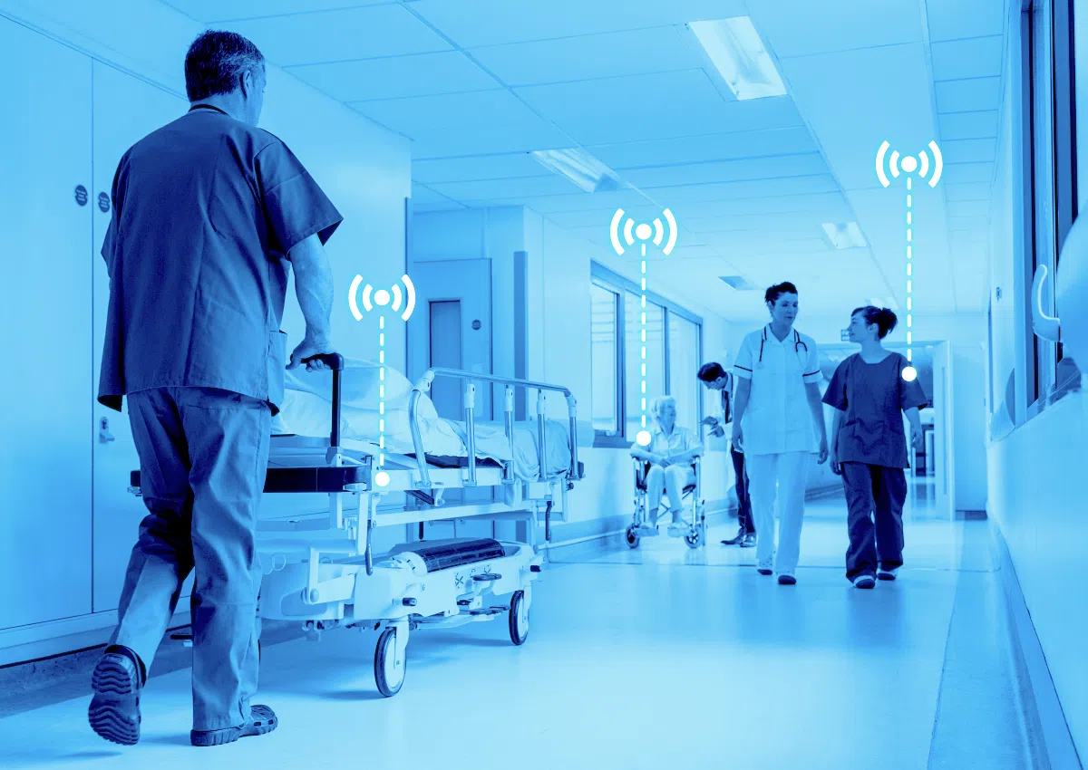
Healthcare
The healthcare sector dictates the need for immediate availability and tracking of inventory, like IV pumps and wheelchairs. RTLS benefits in this sphere are also associated with contact tracing and prevention of hospital-acquired infections (HAI) through tracking medical implements.
The size and complexity of hospitals and other facilities that forward health call for RTLS applications, e.g., indoor positioning, wayfinding, and navigation. Real-time location systems are additionally used to automate usage reports, simplify reporting processes, and preserve privacy.
Time and motion studies
Using RTLS is relevant to studies on motion between workstations, route analysis, and heat mapping of other physical paths that people or vehicles follow. Outfitting a person or object with a tag enables access to motion history and, therefore, visibility of point-by-point positions for any period.
Looking at dots on maps is one of the ways to employ RTLS in time and motion studies. It streamlines the detection of roundabout paths, bottlenecks, or repeated routes. Furthermore, real-time data collection eliminates the need to log paths or spend time watching long-duration video reels manually.
Other features of real-time location systems embrace direct protection of individual employees’ privacy and information on possible enhancements to working processes or spatial layouts.
Technologies used in RTLS
The most common way to achieve real-time location is by leveraging radio frequency identification (RFID) technologies. These include:
- Wi-Fi
- Ultra-Wide Band (UWB)
- Bluetooth
- Bluetooth Low Energy (BLE)
- Industrial, Scientific, and Medical (ISM) bands
- Ultra-High Frequency (UHF) RFID
- Narrowband Internet of Things (NB-IoT)
However, the radio frequency approach is largely the same regardless of the specific technology used.
Real-time location systems employ wireless transceivers, also known as tracker tags. These are designed to mark items or employees that are being located and tracked. In the meantime, a system of reference points (also called antennas, anchors, or beacons) in known locations reads transmissions from the transceivers. It results in the calculation of actual timing and location data.
Depending on a specific RTLS solution, location data can be calculated at the edge or by initially sending it back to a local/cloud-based server. Apart from that, real-time location systems divide into those using triangulation (determining location based on locations of other things) and ones that utilize the trilateration approach (finding a position by knowing the distance from 3 known points minimum).
Similarly, the difference between RTLS could lie in the demand for a clear line-of-sight between RF devices. Some systems require this feature, while others do not.
RTLS may also utilize non-RF technologies:
- Ultrasonic
- Infrared
- Magnetometry
- Inertial measurement
- Gyroscopic calculations
They are usually applied in addition to RF systems.
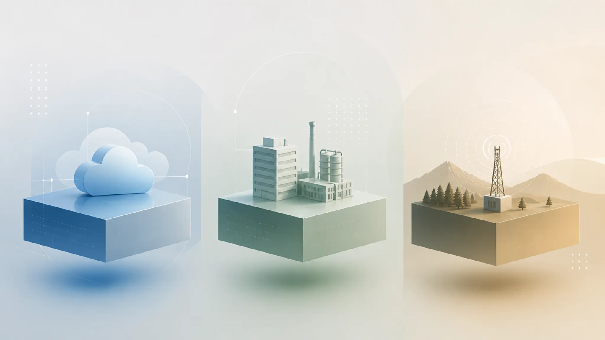
How to implement RTLS solution
Implementation of real-time location systems should rely on factors such as:
- environments in which RTLS will operate
- assets or persons it is going to track and locate
- the platform to access data
For example, Locus – real-time location services by TEKTELIC Communications featuring LoRaWAN gateways – consists of several asset tracking solutions: SPARROW for indoors, ORCA, PELICAN, and PELICAN Ex for the outdoors, SEAL and SEAL Ex for worker safety, and FINCH for a broader list of safety applications.
SPARROW is designed for:
- hospitals
- retail
- office buildings
- warehouses
- manufacturing facilities
It locates and monitors valuable indoor equipment, reduces downtime as well as visualizes customer shopping behaviors and patterns.
In comparison, ORCA, PELICAN, and PELICAN Ex are meant to track and locate assets like:
- shipping containers
- pallets
- railcars
- fleet vehicles
- industrial equipment
These solutions focus on mitigating asset losses and thefts. Aside from that, they monitor inventory in Hazardous Class 1 Div 2 ATEX locations.
SEAL & SEAL Ex are wearable trackers based on LoRaWAN and GPS technologies. They are intended to locate and monitor lone workers while utilizing geofences for site entrance and exit notifications. They aim to prevent workplace incidents and increase safety in dangerous conditions and industrial sites, e.g., oil and gas (O&G).
Ultimately, the FINCH device is a panic button that provides instant location ping once pressed for instant response. The goal is to facilitate lone worker safety, hospital bed assistance, patient satisfaction, senior care, and children monitoring.
Accessing data collected by the above products is possible with the Locus Application Dashboard. Its features include:
- self-setup
- rapid deployment
- easily navigable user interface
- uploading floorplans, maps, and devices
The Dashboard offers real-time alerts and alarms for assets that move or leave a particular geofence. One more functionality is multiple user roles optimizing enterprise solution management.
Reach us to explore IoT capabilities today! info@tektelic.com